| GUIDE MAP OF GREATER HYDERABAD |
| GUIDE MAP OF GREATER HYDERABAD |
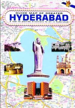 |
| HELP AT HAND The book simplifies your search |
Priced at Rs. 295, the book is available in most
bookshops.
|
Indian Resources Information & Management Technologies
Ltd. (IN-RIMT),
"We have used Indian Remote
Sensing (IRS) satellite data to map out the latest spatial details such as
buildings, roads and such other features. Besides, we conducted ground surveys
extensively to pick up names of all such features and integrated them in to
Geographical Information System (GIS). This information/map could be used for
integrating in to a navigation system such as cars, trucks, ambulances etc.
with the positional accuracy being available," - Managing Director, IN-RIMT.
Advantages
This Hyderabad City Map caters to a variety of clientele like planners,
engineers, administrators, industrialists, tourists and educational
institutions, marketing & sales companies, bankers, Housing and retail
financial institutions, retailing companies, logistics companies etc.
This Site is Best Viewed in 800x600 or higher resolutions, in NS
4.0/IE 4.0 or later browsers
| |||||
